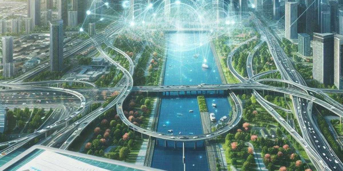
In modern cities, infrastructure planning is reaching a new level thanks to the use of advanced technologies, particularly Geographic Information Systems (GIS). GIS has become an indispensable tool for planners, architects, and city managers, enabling them to integrate spatial data from various sources, analyze it, and effectively manage urban resources. If you're interested in implementing such technologies in your projects, contact https://gis-point.com, which offers professional GIS services for urban planning.
The Role of GIS in Creating Smart Cities
One of the key directions in the development of modern megacities is the creation of so-called "smart cities." This infrastructure ensures that all elements of urban life—transportation, energy, and more—are interconnected for more efficient management. GIS serves as a fundamental tool for planning these cities, allowing data on roads, buildings, infrastructure, as well as social and environmental aspects, to be collected and integrated.
Using GIS, urban engineers can model the development of cities, determine optimal locations for new construction, plan public transport routes, and design other essential infrastructure elements. The precision of spatial data helps avoid many mistakes, saving both time and resources in the construction and development process.
Planning Transportation Systems
One of the most significant areas of GIS application in urban planning is the development of transportation infrastructure. In large cities, the optimization of traffic flow is critical for ensuring convenient mobility for residents and reducing congestion. GIS helps analyze traffic patterns, identify the busiest routes, and develop effective strategies to ease traffic flow.
For instance, using GIS data, transportation companies can plan new public transport routes based on residents' needs, create more convenient transfer schemes, and develop solutions to reduce harmful vehicle emissions. In addition, GIS allows real-time monitoring of road conditions, enabling rapid responses to accidents or other unforeseen events.
Managing Urban Resources
In addition to transportation systems, GIS is actively used for managing urban resources such as water supply, power grids, gas pipelines, and other critical infrastructure. GIS helps visualize the location of these resources on the city map, making their management and maintenance work much easier.
City managers can quickly access up-to-date information about the condition of networks, helping to prevent breakdowns and ensure stable operation. For example, in case of a water or power outage, GIS can quickly locate the issue and dispatch a repair crew, minimizing disruptions for residents.
Environmental Monitoring
Another key area where GIS plays a vital role is environmental monitoring. As urbanization grows and populations increase, environmental concerns become more pressing. Using GIS, cities can more effectively monitor air pollution, water quality, and other essential factors that impact residents' quality of life.
GIS allows for the creation of environmental maps that track high-pollution areas, helping cities make timely decisions to mitigate these issues. These technologies help identify problem zones and reduce the negative impact of urban infrastructure on the environment, contributing to the preservation of natural resources.
GIS in Infrastructure Project Development
GIS has become an integral part of modern infrastructure projects, helping not only plan new buildings and facilities but also manage existing ones. For example, when constructing bridges, tunnels, or new residential areas, GIS allows for the consideration of local features, the analysis of geological data, and the design of optimal solutions in terms of safety and efficiency.
This is especially important for large cities where each square meter of land is valuable, and planning mistakes can lead to significant financial losses. GIS helps minimize risks, ensuring more accurate planning and control over project implementation.
The Future of GIS in Urban Planning
GIS technology continues to evolve, opening up new possibilities for urban planning. Today, solutions are being actively developed that integrate GIS with other cutting-edge technologies such as Artificial Intelligence and the Internet of Things (IoT). This will enable even more accurate city models, forecast urban growth, and respond quickly to changes.
Additionally, the use of drones and satellites for data collection in cities is expected to increase significantly, making the monitoring and planning processes even more accessible and precise. GIS technology will be the foundation for creating fully integrated smart cities, where all systems work in harmony to ensure residents' comfort and safety.
Geographic Information Systems play a crucial role in modern urban planning, helping to create efficient and sustainable cities of the future. They optimize resource use, improve transportation systems, ensure stable infrastructure operation, and reduce environmental impact. For more information on how GIS can benefit your business, read the article https://vocal.media/writers/benefits-of-gis-for-business-how-to-use-data-for-decision-making on the advantages of GIS for business.


